
El Niño shifts huge amounts of heat around the Pacific Ocean, and that heat changes weather patterns across the planet. What it will not do is tell you whether the water at your local beach is safe to swim in this Saturday morning.
El Niño effects on sea swimming are real at the level of seasons and regions, but your swim decision still comes down to the wind, tide, waves, water temperature and water-quality notices at your entry point on the day. That gap between the global signal and the local reality is where most confusion starts.
The current event is a big one. The UN reported in September 2026 that El Niño is intensifying and has yet to peak, with forecasters near certain it will last through February 2027. Global ocean temperatures have already hit record highs, with Copernicus warning of unprecedented strain on the world’s oceans.
So it is worth knowing what the pattern does, where it bites hardest, and which checks keep you safe when the headlines sound alarming. By the end of this you will have a repeatable pre-swim routine that works in any El Niño year, and the confidence to ignore scary forecasts that have nothing to do with your stretch of coast.
How El Niño Changes Ocean and Weather Systems
El Niño is the warm phase of a natural see-saw in the Pacific Ocean called the El Niño Southern Oscillation. Warm water sloshes east across the equatorial Pacific, the atmosphere responds, and weather patterns shift thousands of miles away.
What Happens in the Equatorial Pacific?
Scientists declare an El Niño event when sea surface temperatures rise by at least 0.5 degrees Celsius above average in the east-central equatorial Pacific. A “super” El Niño is when that warming passes more than 2°C in the tropical Pacific.
Satellites pick up two clear fingerprints early on: warmer-than-normal sea surface temperatures and higher-than-normal sea surface height. Warm water expands, so the sea physically stands taller in the east.
How Weakened Trade Winds Shift the Walker Circulation
In a normal year, trade winds blow west along the equator and pile warm water up near Indonesia. El Niño begins when those prevailing trade winds slow, letting warm water spread east towards South America.
That flattens the Walker circulation, the big loop of rising and sinking air over the tropical Pacific. Rain-making rising air moves east with the warm water, so wet places turn dry and dry places turn wet.
Why Distant Ocean Warming Can Alter Regional Weather
Where the ocean releases heat into the atmosphere is what matters. Shifting that heat source changes atmospheric circulation, temperatures, precipitation and other weather events worldwide, which is why ENSO is called the most influential climate driver on Earth.
The knock-on effect travels through the jet stream. That is the mechanism behind El Niño’s reputation for stormy winters in some regions and drought in others, and it is why the pattern is a source of year-to-year climate variability instead of a fixed forecast.
Coastal Changes That Can Affect Sea Swimmers
The changes swimmers notice are warmer or cooler water than expected, stormier spells, murkier water after heavy rain, and different marine life. Some of these arrive as a slow seasonal drift; others hit within hours of a downpour.
Can El Niño Make Sea Water Warmer?
In the eastern tropical Pacific, yes, and dramatically so. Elsewhere the link is far looser, and any warming you feel in the UK owes more to the season and recent air temperatures than to the Pacific.
Global ocean heat is the bigger story right now. Met Office research shows a typical El Niño episode raises temperatures by between 1 and 2 degrees Celsius in affected regions, layered on top of already record-warm seas.
How Storms, Swell and Currents May Change
Storm tracks move during El Niño years, which changes swell direction and size on exposed coasts. Satellite work on Pacific beaches found beach width swings measurably between El Niño and La Niña periods, with some coastlines eroding while others replenish.
A wider or narrower beach changes where sandbanks sit, and sandbanks control rip currents. That is a practical reason to re-read a familiar beach after a stormy winter instead of trusting last summer’s mental map.
Why Heavy Rain Can Affect Water Quality
Heavy rain raises river discharge, and rivers carry that water straight to the coast. Satellite images have tracked large sediment-rich river plumes spreading along coastlines for hundreds of miles.
More sediment means higher turbidity, so visibility drops. Runoff also carries whatever was on the land, which is why a 48-hour pause after heavy rainfall is a sensible habit for any saltwater swimming session.
Changes in Marine Life and Visibility
Warm surface water sits on top of cooler nutrient-rich water and blocks it from rising. Less nutrient means less phytoplankton, and marine conservationists warn a super El Niño could push fish and seabirds to compete for scarce food.
For swimmers this shows up as clearer or emptier water in some places, dense algae in others, and unfamiliar species drifting into range. Knowing what sea animals you might see when swimming on the south coast of England helps you tell a curious visitor from a reason to get out.
Regional Differences From Peru to the Atlantic Coast
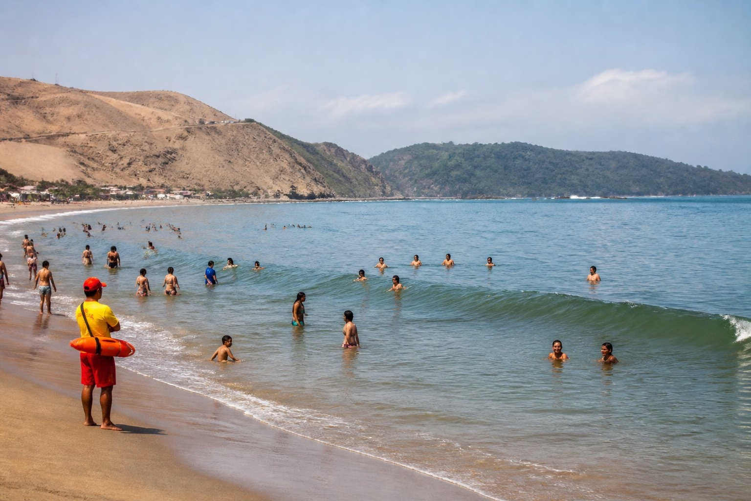
El Niño hits hardest closest to its source in the eastern tropical Pacific, and its effects weaken and become less predictable the further you travel from there. Peru and Ecuador feel it directly; California and the Atlantic respond through longer, patchier chains of cause and effect.
Why Peru and Ecuador Often See Stronger Direct Effects
The warm water arrives at their doorstep. El Niño develops in the tropical Pacific in a region close to the coasts of Ecuador and Peru, which is why the phenomenon got its name from Peruvian fishermen.
The consequences are severe. The extreme coastal warming of March to April 2023 was one of the strongest in four decades and caused widespread flooding and Peru’s worst recorded dengue outbreak, with more than 300 deaths. Landslides and damage to agriculture follow the same heavy rainfall.
What Shifting Fish Populations Tell Us About Ocean Change
Fish move when their food moves, and fisheries data acts as an early warning system for ocean change. The Peruvian anchoveta collapse during strong El Niño years is the classic example, and freshwater fisheries and aquaculture shift too through changes in precipitation and water temperature.
Pacific salmon runs and California’s kelp-dependent species respond within a season. When local fishers report catches in odd places, the water you swim in has changed too.
Why California and the Atlantic Ocean Do Not Respond in the Same Way
California sits on the Pacific but far from the equator, so it gets a diluted signal delivered by coastal waves and shifted storm tracks. Its El Niño winters bring more rain and bigger swell in some years and very little in others.
The Atlantic connection is weaker still. A recent review describes ENSO’s influence on Atlantic marine systems and fisheries as complex, working through atmospheric links that take months and often cancel out.
What It May Mean for UK Sea Swimmers
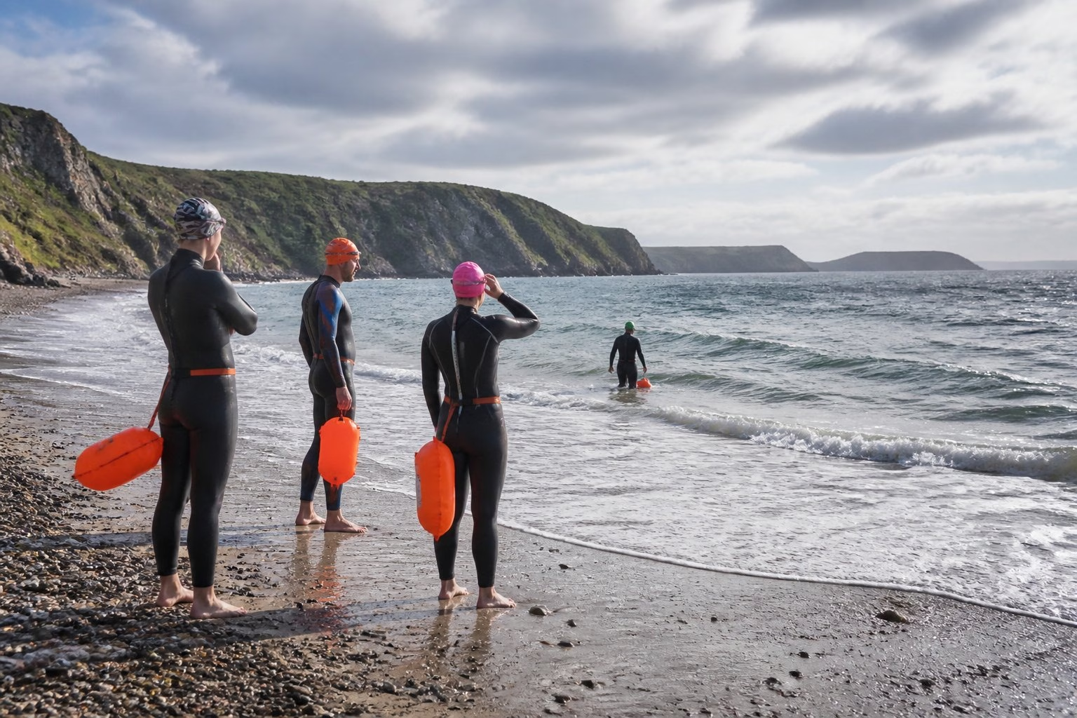
For UK swimmers, El Niño is a winter weather story more than a water temperature story. The plausible effect is a shift in Atlantic storm activity, which changes swell, rainfall and runoff on your coast.
Why El Niño Is Not a Beach-Level Forecast
El Niño works on scales of months and ocean basins. Your local conditions are set by the last 12 hours of wind, the tide state, and how much rain fell upstream.
Even for whole countries the signal is probabilistic. Strong El Niño winters are linked to a southward-shifted North Atlantic jet stream steering more frequent winter storms towards the British Isles, and that raises the odds without promising anything for a given weekend.
What to Watch for During Wetter or Stormier Periods
Wetter, stormier spells change three things swimmers care about: sea state, water clarity and bacterial water quality. All three can be checked the morning of a swim.
Look for a bigger or longer-period swell than usual, brown water near river mouths and outfalls, and storm overflow notices after downpours. Debris in the water after a big blow deserves respect, and tide state changes how quickly conditions turn, so the safest time to sea swim on high or low tide is worth working out for your own beach.
How Climate Change Changes the Wider Risk Context
Greenhouse warming has loaded the dice. The current El Niño is building on top of record ocean heat, and scientists note the danger might lie less in the magnitude of the event than in the baseline it sits on.
That means marine heatwaves, heavier rainfall events and more intense storms are becoming more likely regardless of the ENSO phase. Your habits around cold water, sea state and post-rain timing serve you in every year, which is why building a routine through open water swimming safety and staying warm is worth the effort.
How to Make a Safer Pre-Swim Decision
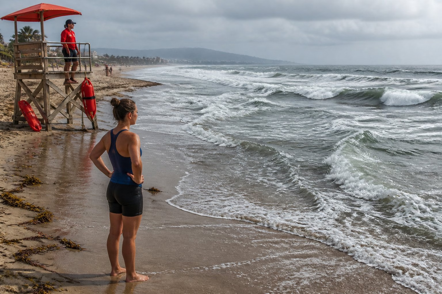
A good pre-swim decision takes about five minutes: one look at the marine forecast and tide times before you leave, one look at the water when you arrive. Swim England’s open water guidance is blunt about why, noting that a location you consider safe one day may not be the next.
Check Wind, Waves, Tides and Currents Before You Leave
Check wind direction and strength first. Offshore wind flattens the surface and pushes you away from the beach, which is the combination that catches people out.
Then look at wave height and period, and the tide times for your exact beach. Note whether the tide is flooding or ebbing at your planned entry, because an ebb tide near a river mouth or headland can move faster than you swim.
Assess Water Temperature, Visibility and Water-Quality Notices
Water temperature drives how long you can safely stay in, so check the sea temperature reading for your area and plan a shorter swim if it is below your usual. If you are new to it, follow a proper progression for starting cold water swimming instead of testing your limits on a rough day.
Look at the water itself when you arrive. Brown or heavily discoloured water means high turbidity from river discharge or stirred-up sand, and any storm overflow or pollution notice is a reason to walk away.
Use Lifeguard Advice and Choose Conditions That Suit Your Ability
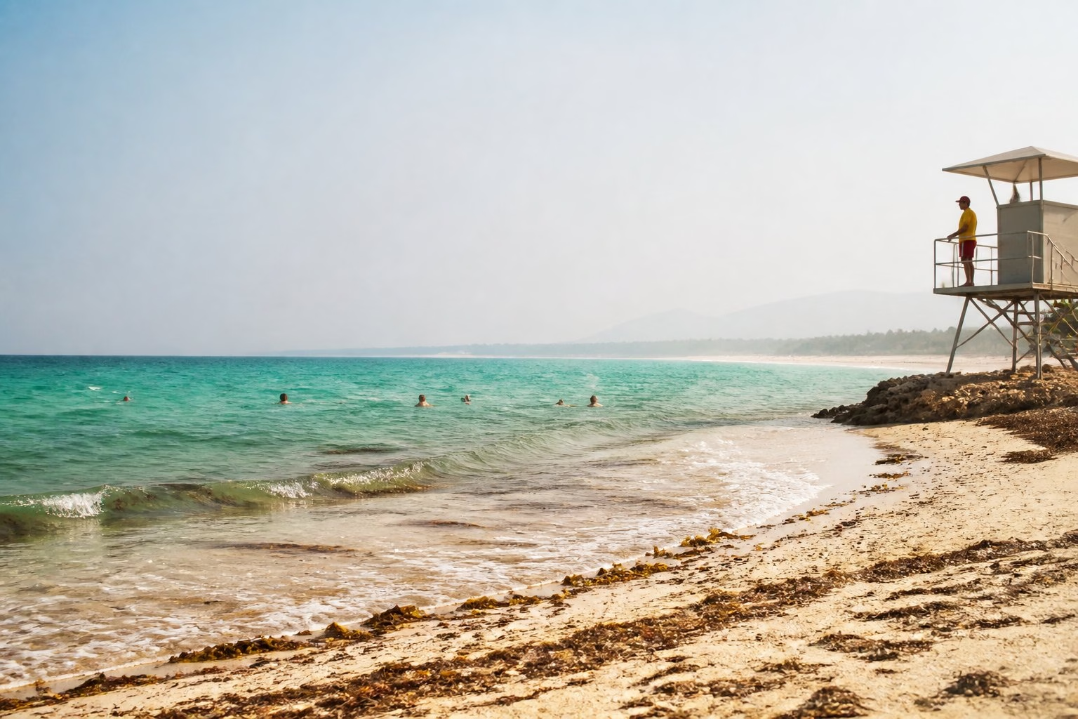
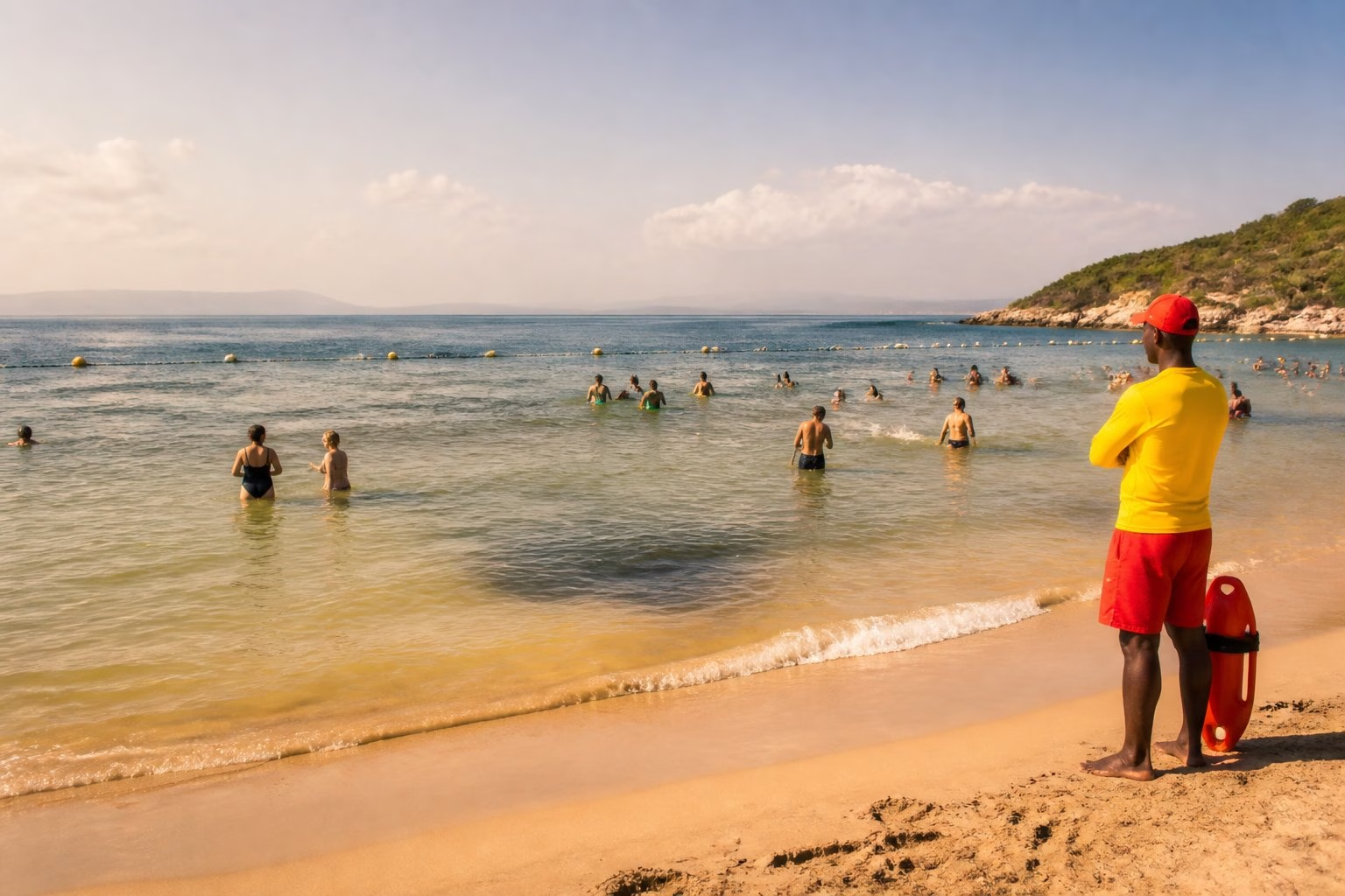
Swim between the red and yellow flags where lifeguards are on duty, and ask them about rips before you get in. They watch that beach every day and will tell you where the water is behaving oddly.
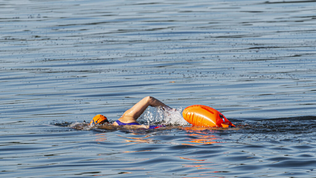
Match the conditions to your actual ability rather than your best day. Carrying a bright tow float makes you visible to boats and to anyone watching from shore, and safety buoy floats for open water swimming double as somewhere to clip your key.
A Quick Safety Check Before Entering the Water
Run through this list at the water’s edge:
- Wind direction: is it blowing offshore?
- Tide: rising or falling, and how long until it turns?
- Waves: bigger, longer or messier than you expected from the forecast?
- Water: any brown plumes, foam, algae or debris?
- Notices: any pollution or storm overflow warning posted?
- Exit: can you see a clear, easy way out along your whole route?
- People: does someone on land know your route and return time?
- Kit: tow float, bright hat, and warm layers waiting for you?
If two or more answers concern you, shorten the swim or postpone it. Getting the essential safety gear for wild swimming sorted in advance removes a chunk of that decision-making pressure.
Local Conditions Matter More Than Climate Headlines
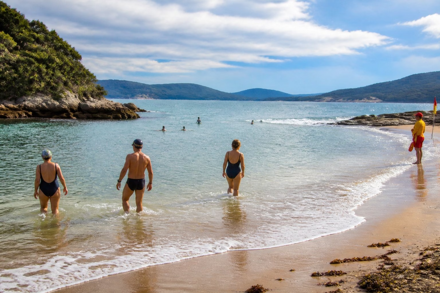
El Niño is worth knowing about because it explains why a season feels off: stormier than expected, wetter than expected, or oddly warm sea surface temperatures where you swim on holiday. ENSO shapes climate variability across whole ocean basins and reshapes marine ecosystems in the eastern Pacific.
What it cannot do is replace your own checks. The forecast for your beach, the tide table, the state of the water and the lifeguard’s read on the day are the information that keeps you safe.
Treat big climate news as background context and keep your pre-swim routine unchanged. Check wind and tide before you leave, look at the water when you arrive, give it 48 hours after heavy rain, and swim within the distance you could comfortably cover if conditions turned.
Frequently Asked Questions
Does El Niño make sea swimming warmer?
In the eastern tropical Pacific, clearly yes, since an event is declared once sea surface temperatures pass 0.5°C above average there. In the UK, sea temperature is driven by the season and recent air temperatures, so any El Niño influence is indirect and small compared with the normal spring-to-autumn swing.
Does El Niño make the sea rougher or more dangerous for swimmers?
El Niño shifts storm tracks, which changes swell size and direction on some coasts, and strong events are linked to more frequent Atlantic winter storms reaching the British Isles. That raises the probability of rough spells across a season without predicting the sea state on any particular day.
Can El Niño affect sea swimming conditions in the UK?
Indirectly, mostly through wetter and stormier winter weather that increases rainfall, river discharge and flooding risk. Those knock-on effects reach swimmers as murkier water, more debris and more frequent water-quality notices near river mouths and outfalls.
Should I avoid sea swimming after heavy rain during El Niño?
Wait around 48 hours after heavy rainfall before swimming, and longer if a storm overflow or pollution notice is posted. Runoff carries sediment and bacteria from land into coastal water, which is a risk in any year and not specific to El Niño.
How can I check whether conditions are safe at my local beach?
Check a local marine forecast for wind and wave height, the tide times for that specific beach, and any water-quality notice before you travel. When you arrive, look at the water for discolouration and debris, and ask the lifeguards about rip currents if the beach is patrolled.